Hatgad Fort is a fort located 71 km from Nashik, of Maharashtra.
Before you enter the majestic fort, take a look at the dilapidated first doorway with only pillars standing. To the right, you’ll find a water tank cut in rock and a carved Lord Hanuman sculpture. You won’t be able to resist clicking a selfie here, trust me!
Moving ahead, you’ll come across a tunnel-shaped second doorway carved in rock, just like that of the entrance of Harihar fort. And if you’re looking for a refreshing break, check out the cave with three water tanks. But don’t drink the water because it’s not potable.
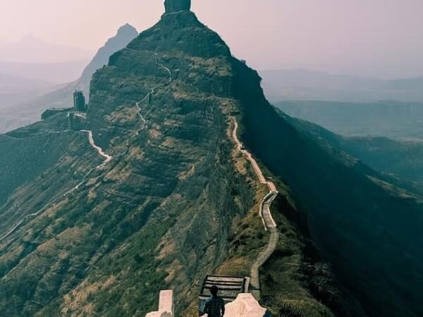
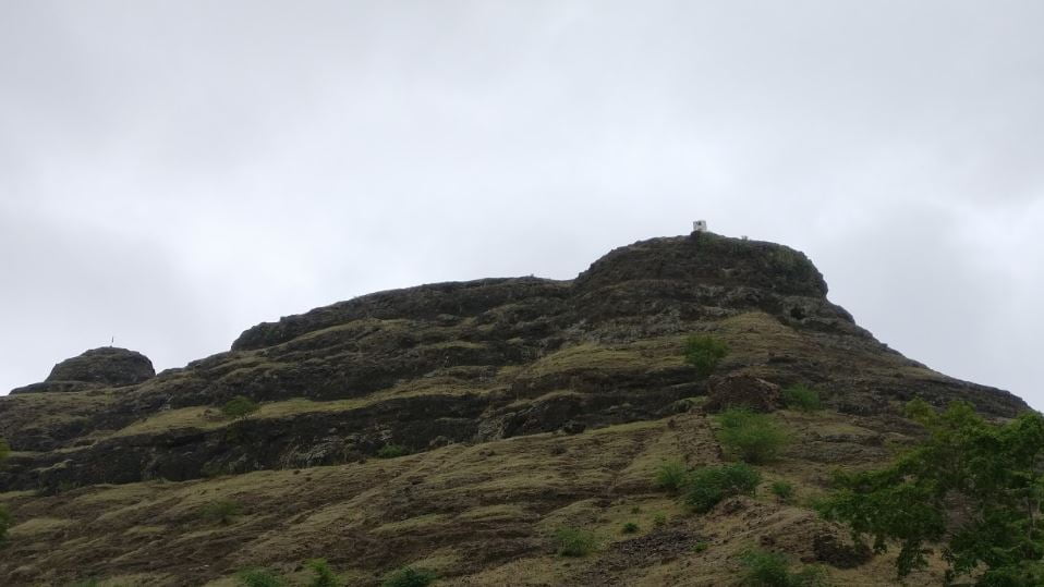
It takes around an hour to reach the fort top, but the journey is worth it. As you move further, you’ll see remnants of a mansion and a structure built in a bastion. But the funniest sight has to be the tombstone to the left of the fourth doorway. I wonder what the epitaph says? “Here lies my patience after climbing up this fort.”
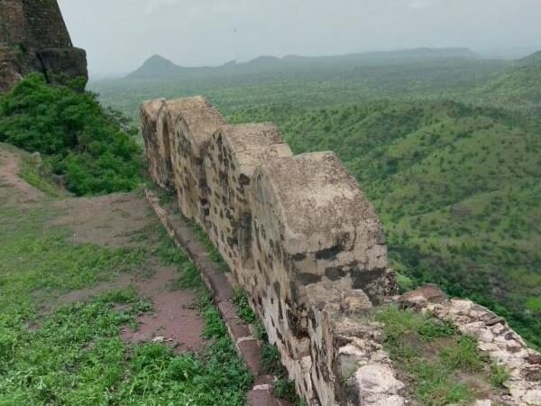
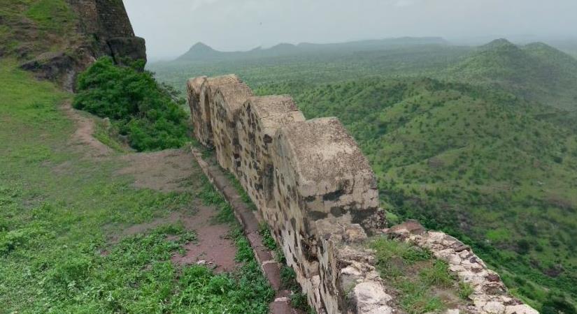
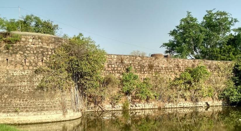
Opposite the pond, you’ll find the fort’s vast plateau with its fortified wall still intact. And towards the top side of the pond, there’s a flag pole and a path that takes you to the other side of the fort where there’s a bastion. Don’t forget to keep your camera handy because you’ll come across many water tanks on this route.
Now, if you’re wondering how to get there, here’s the scoop. You have to reach Nashik and proceed on the Nashik-Saputara highway. After covering 74 kms from Nashik, take the diversion towards Borgaon, where one route goes to Surgana, while another goes to Saputara. Take the route to Saputara, and after covering 4 kms from Borgaon, you’ll reach Hatgadwadi village, the base village for this fort.
From here, keep Hatgadwadi village on the left side and take the tar road to Kalvan village. On your way, you’ll come across a dried up well on the left, and after a 5-minute walk from here, take the off-road path to the left, which takes you on the mountain ridge. And after a 15-minute walk from the Mango tree, you’ll reach the fort top.
The only local story is that in the time of Rangrav Aundhekar, the last officer who held the fort for the Peshva, one Supkarna Bhil came with a large following and laid siege to the fort. The siege continued for some time and was not raised until a shot from the garrison destroyed one of the Bhil guns. The Bhils then burnt the village and withdrew.
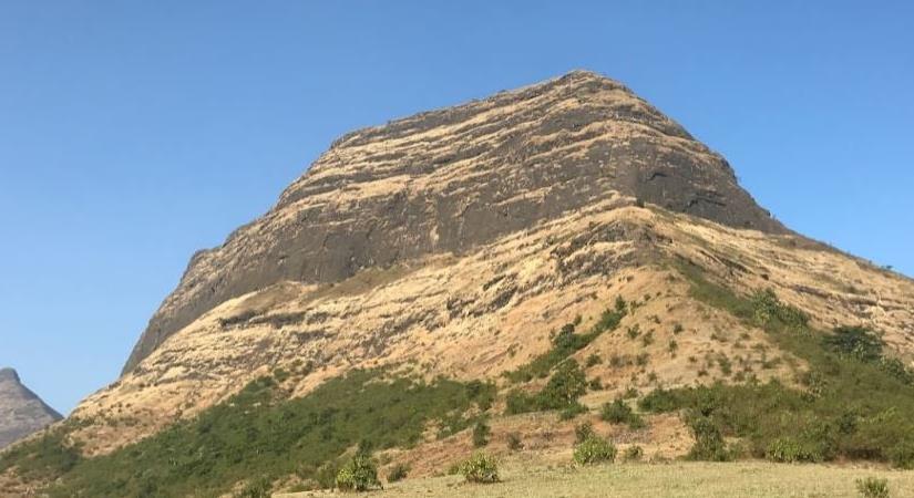
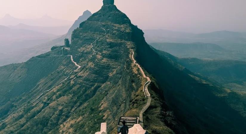
In 1818, Captain Briggs, who visited the fort, reports that it was not more than 400 feet (121.92 metres) above the plain. But height doesn’t matter when you have a perpendicular scarp of rock all around and five gateways in a large tunnel which traversed the rock as it ascended by steep steps.
MUST visit places – NEARBY
Plan Your Trip to Hatgad Fort
Check the latest prices and availability for the best stays in Hatgad Fort.
Free cancellation on most rooms • No booking fees