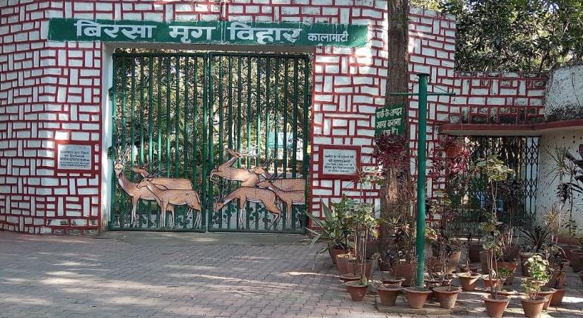
The Palamau Tiger Reserve is located in the western side of Latehar district on the Chhotanagpur plateau in Jharkhand. The forest is surrounded by the Netarhat Forest in the South, Auranga River in the North, Latehar Forest Division on the East and Garhwa Forest Division and Sarguja District of Chhattisgarh on the West.
The Palamau Tiger Reserve is very important for its biodiversity. The project area is constituted mainly of Sal forests, mixed deciduous forests and bamboo groves. The reserve zone is the watershed area for 3 important rivers Koel, Burha and Auranga.
The scientific management of the forests had started as early as 1864 and over the years, large forest areas were notified as reserved forests, protected forests, wildlife sanctuary and national park. The forest is spread over an area of 1129.93 sq.km., of which 414.08 sq.km. is marked as core area (critical tiger habitat) and the rest 715.85 sq.km. as buffer area. Of the total area, 226.32 sq.km. is designated as Betla national park. In the buffer zone, 53 sq.km. is marked as tourist zone. This entire zone is under the administrative control of Chief Conservator of Forest & Field Director, Palamau Tiger Reserve. Under whom, there are 2 divisional forest officers each for core area and buffer area Forest Division.
The Palamau Tiger Reserve was constituted in the year 1974 under PROJECT TIGER. It is one of the first 9 tiger reserves created in the country at inception of ‘Project Tiger’. Palamau Tiger Reserve has the distinction of being the first sanctuary in the world in which a tiger census was carried out as a pugmark count, as early as 1932 under the supervision of J.W. Nicholson, the then DFO, Palamau.
The present day core was important bamboo and timber extraction area of Forest Department. The area was closed for grazing, timber and any type of NTFP collection. The extensive fire management, soil and moisture conservation measures were adopted. The wildlife management practices in the core area were also initiated simultaneously. The grass lands were created by removing the climbers. The waterhole management, artificial salt soil blocks, provisions and very strict anti-poaching mechanism with the help of local communities resulted in overall improvement in habitat and wildlife.
