Kamalgad Fort, also known as the “Lotus Fort” or “Kattlagad-/Death Fort” – An identity crisis ?!
This square hill fort is located in Wai Taluka in Maharashtra, India, and is shrouded in mystery as the identity of its builder remains unknown. During the Maratha times, Kamalgad, Pandavgad, and other forts in the area were administered by a Mokasaddar from Bijapur. However, early documents written in the now defunct Modi script of the Marathi language refer to the fort as “Kattalgad.”
In April 1818, Kamalgad surrendered to the British after resistance to a detachment commanded by a Major Thatcher. Under the British, it was used to execute prisoners of war. Yikes, talk about a grim past! But don’t worry, nowadays, it’s one of the popular places of heritage in Maharashtra and a must-visit place in Panchgani packages.
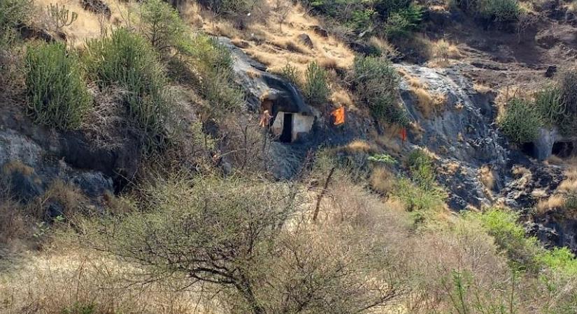
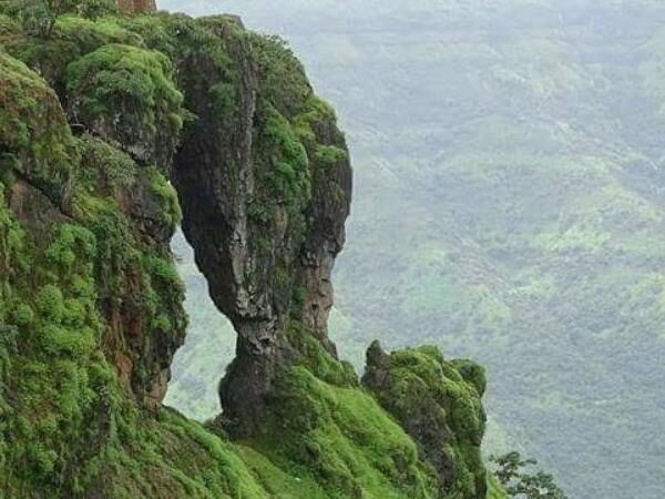
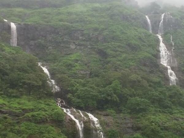
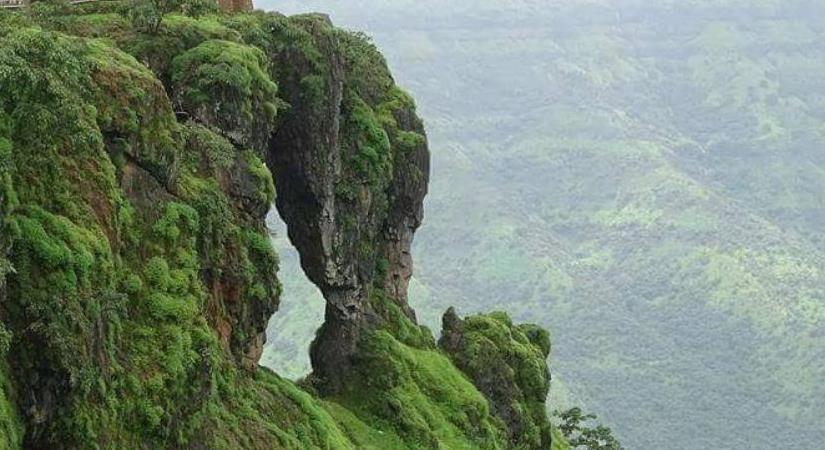
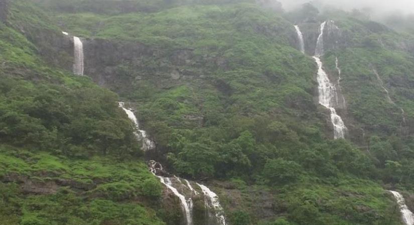
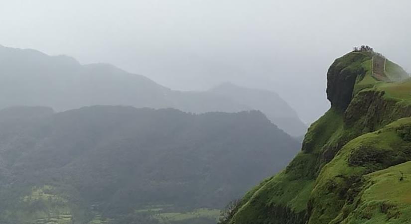
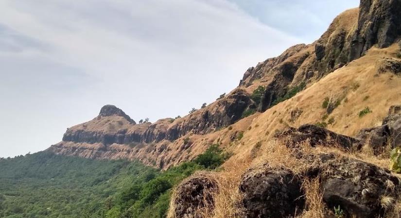
Situated at an elevation of over 4511 feet, Kamalgad Fort offers breathtaking views of the magnificent Dhom Dam. The fort covers a flat area of nearly 3-4 acres and is surrounded by thick woods and steep rocks. To reach the fort’s base, trekkers have to carefully scale the steep rocks and narrow paths. And get this, the only way to reach this place was through an artificial tunnel, which is now blocked by a big rock. So, unless you have superhuman powers or a magical spell, scaling the rocks is your only option.
Once you reach the top, you’ll notice that there are no buildings or walls, which is unusual for a fort in this area. The only structure on the top is a well that was sunk right through the rock into the soil below, which still has water. Cool, right? But wait, there’s more! The sides of the well, which were formed of natural rock, reportedly contained recesses in which criminals were placed. They had to choose between starvation or drowning to decide their mode of death. Talk about a tough decision!
So, fellow adventurers, if you’re up for the challenge, Kamalgad Fort trek starts either from Vasole village or from Nandgaon. The trek route to the fort is well-trodden initially, but as you gradually start ascending towards the gorge between a hill and Kamalgad Fort, many cattle routes emerge out. It is advisable to confirm the directions with local people or shepherds. Always follow the ascending direction, unless you want to get lost and end up in some random village (which could be fun too!). From the gorge, take the left turn and follow the route till Gorakshnath temple and then take the left turn and follow. After walking for about 20 minutes, trekkers can reach the highest point of the fort. It is advised to check the route with locals at frequent intervals.
recommended nearby places
Plan Your Trip to Kamalgad Fort
Check the latest prices and availability for the best stays in Kamalgad Fort.
Free cancellation on most rooms • No booking fees